
World maps & models
Waldseemüller’s nautical world map
Historical recordCompare with the 1507 map as changing cartographic knowledge, not literal cosmological geometry.
What this record establishes
Institutional record documented; does not authenticate interpretations.
Record details
- Original title
- Carta marina
- Artifact date
- 1516
- Creator
- Martin Waldseemüller
- Holding institution
- Library of Congress
- Classification
- World map
Antarctica connection
Contextual visual history; not direct evidence about Antarctica
Relevance and caution
Compare with the 1507 map as changing cartographic knowledge, not literal cosmological geometry.
Catalog context
Curatorial navigation label; original categories and source identity retained.
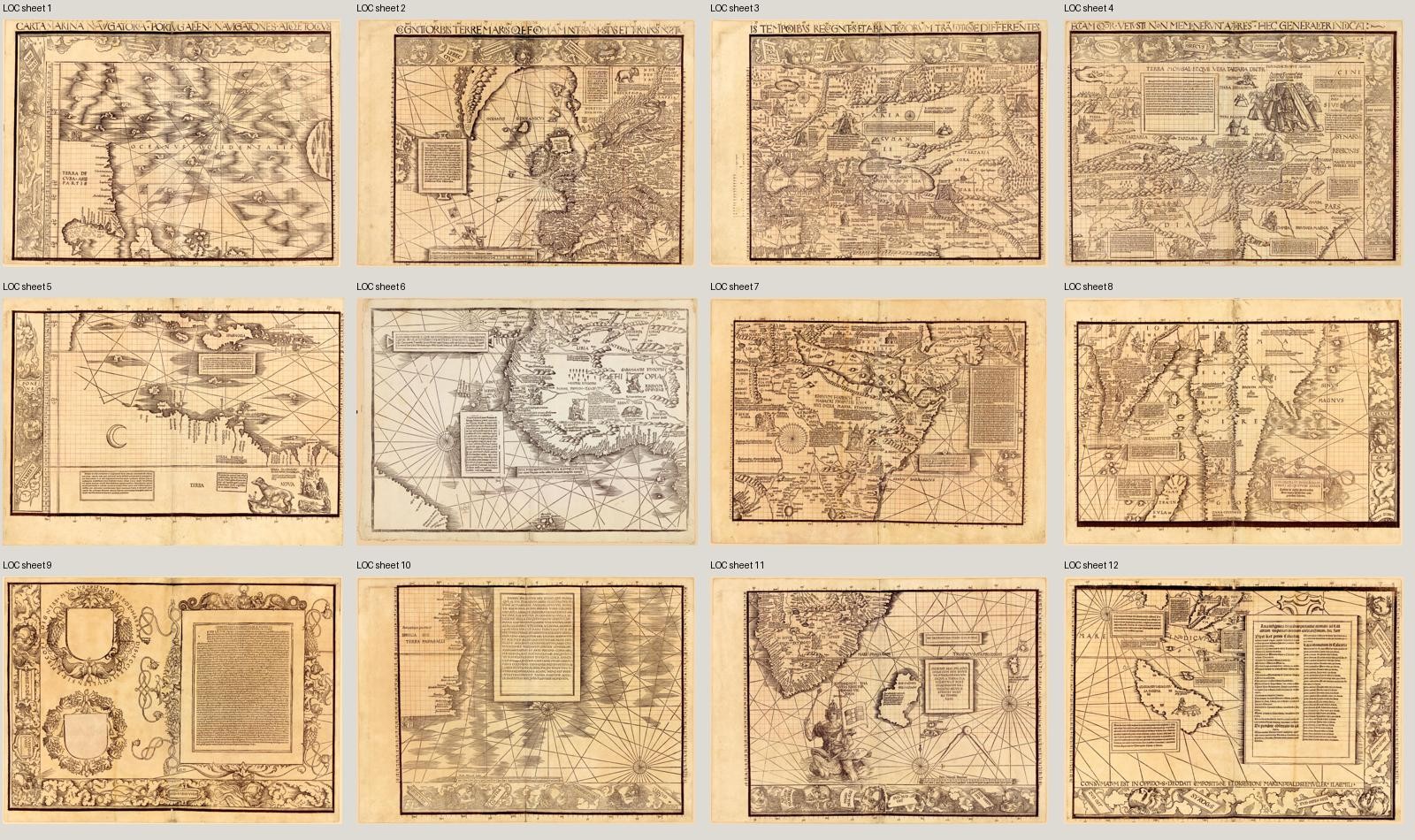
The twelve original 1516 Carta marina sheets in a labeled contact layout, with visible gaps—not an invisibly stitched reconstruction. The catalog describes sheet 6 as an inserted proof; most other sheets carry Schöner annotations. Each source sheet is supplied separately for detailed viewing.
Martin Waldseemüller, 1516; Johann Schöner annotations. Library of Congress, Jay I. Kislak Collection, LCCN 2016586433.
Image source record · Reuse terms
Image rights and evidence limits
Exact catalog: Jay I. Kislak Collection materials are in the public domain and free to use/reuse.
Image existence does not prove a linked claim. Consult image-specific captions and reuse conditions.
Sources and what they support
Links document the record, the claim’s circulation, an assessment, or reuse terms as labeled. A source link is not automatically corroboration.
- image reproduction provenance; not proof of a linked interpretationhttps://www.loc.gov/item/2016586433/
- institutional or documentary recordhttps://www.loc.gov/exhibits/exploring-the-early-americas/interactives/waldseemuller-maps/
Explore the same topic
- Historical record
Abizaid’s flat, stationary-Earth map
John George Abizaid’s map with English and Arabic text.
- Historical record
Al-Idrisi’s world map — a sixteenth-century copy
Orientation is a cartographic convention, not inversion of the physical Earth.
- Historical record
Babylonian Map of the World
Disc and surrounding cosmic waters; ancient worldview, not an Antarctic survey.
- Historical record
Bertelli’s map of the known world
Southern land and fantastic fauna are speculative; do not label them surveyed ice-free Antarctica.