
Maps & hidden lands
Twenty hidden continents
flat-earth allegationEvidence status
Contradicted by global mapping; extra lands are not authenticated geography.
Editorial assessment of this proposition; not a numeric confidence score.
Claim or proposition being examined
An Antarctic barrier hides twenty additional inhabited continents.
Limitations
Inclusion documents a claim; no independent truth inference from circulation. Category must remain visible.
Catalog review date reported: 2026-10-28. This is inherited catalog metadata, not a new verification of the linked source.
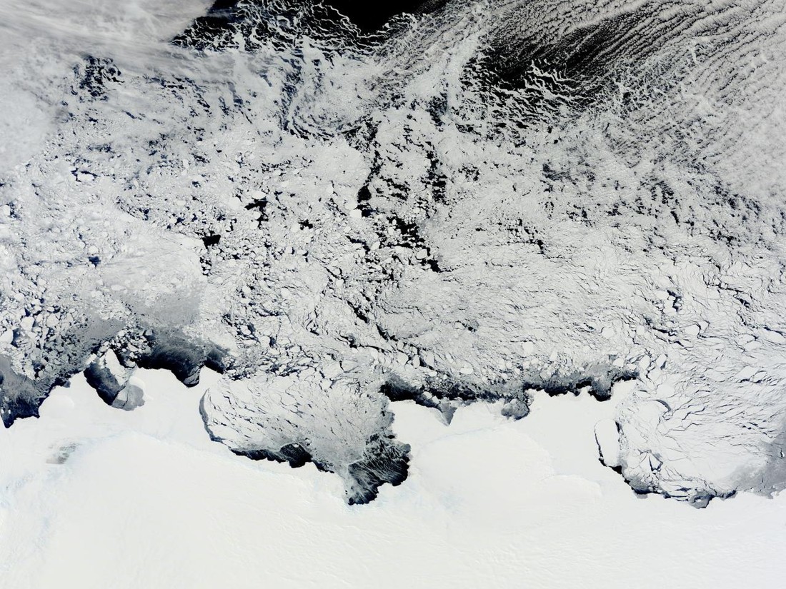
Terra MODIS recorded Antarctic coastal ice on 2 November 2011. An authentic satellite observation, not a depiction of hidden continents. NASA Goddard MODIS Rapid Response Team / Aspect-preserving resize only; no generative editing or cropping Original context source ↗
Image source record
Image rights and evidence limits
Image existence does not prove a linked claim. Consult image-specific captions and reuse conditions.
Sources and what they support
Links document the record, the claim’s circulation, an assessment, or reuse terms as labeled. A source link is not automatically corroboration.
- claim documentation or assessmenthttps://www.yahoo.com/news/no-antarctica-not-ice-wall-224441366.html
- Terra MODIS recorded Antarctic coastal ice on 2 November 2011. An authentic satellite observation, not a depiction of hidden continents.https://images.nasa.gov/details/GSFC_20171208_Archive_e001866
Connected records
These are contextual links, not automatic corroboration.
- Antarctic circumferential ice wall
One proposes a boundary geometry; the other adds hidden lands. They are related propositions, not interchangeable evidence.
- Gleason’s New Standard Map of the World
Compare the printed map with the separate claim of additional lands. The archival map is not a survey beyond its rim.
- Mysteries Beneath the Ice: The Secrets of Antarctica
A mystery-program perspective sits alongside a modern hidden-lands claim and a historical flat-Earth advocacy map. This is thematic context; no claim that the video cites this exact map or authenticates additional lands.
Explore the same topic
- flat-earth allegation
Antarctic circumferential ice wall
Contradicted by surveys, navigation and satellite observations.
- Cartographic interpretation
Buache knew subglacial Antarctic divisions
Its speculative geography does not demonstrate knowledge of subglacial terrain.
- Historical sighting
Dougherty Island
The described island was not confirmed by later searches.
- flat-earth allegation
Drilling the firmament
Claimant explicitly cannot identify or authenticate the alleged witness.