
Images, clips & hoaxes
IceBridge buried settlement
hoaxEvidence status
Fabricated story used unrelated imagery including Saqqara, Egypt.
Editorial assessment of this proposition; not a numeric confidence score.
Claim or proposition being examined
NASA lidar found ancient human settlement beneath 2.3 km of ice.
Limitations
Source demonstrates circulation of the claim, not its truth; independently authenticated evidence is required.
Catalog review date reported: 2026-10-28. This is inherited catalog metadata, not a new verification of the linked source.
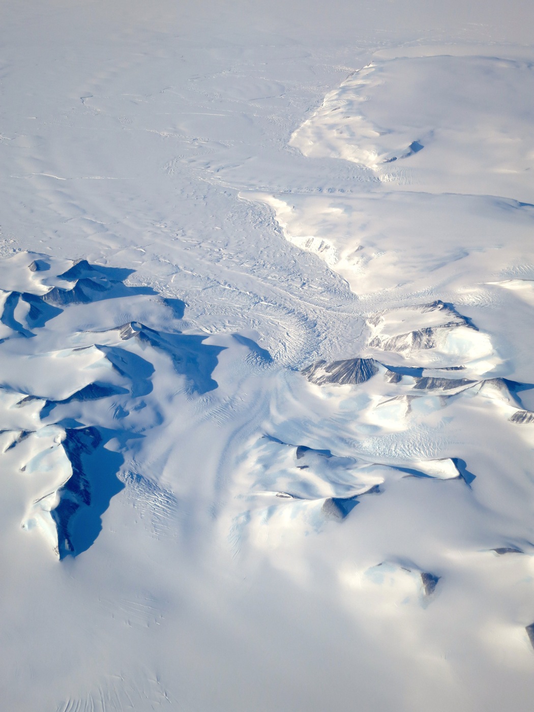
An Antarctic Peninsula glacier photographed from the NCAR G-V aircraft during the real Operation IceBridge campaign on 3 October 2015. Mission context only: this is an ordinary aerial surface photograph, not a lidar discovery of a buried settlement and not the image used in the hoax.
NASA / David Rabine, 3 October 2015, photographed from the NCAR G-V aircraft during Operation IceBridge’s Antarctic campaign.
Selected Antarctic image from an article that also contains Greenland imagery. NASA does not identify the exact glacier. The photograph contains no evidence of an ancient settlement.
Image source record · Reuse terms
Image rights and evidence limits
NASA-credited photograph with no third-party copyright exclusion; factual informational use permitted by NASA media guidelines, with source credit and no endorsement.
Image existence does not prove a linked claim. Consult image-specific captions and reuse conditions.
Sources and what they support
Links document the record, the claim’s circulation, an assessment, or reuse terms as labeled. A source link is not automatically corroboration.
- claim documentation and/or assessmenthttps://leadstories.com/hoax-alert/2016/01/hoax-alert-nasa-images-did-not-reveal-ancient-human-settlement-under-23-km-of-ice.html
- displayed image provenance; not proof of a linked interpretationhttps://science.nasa.gov/science-research/earth-science/water-energy-cycle/cryosphere/operation-icebridge-completes-twin-polar-campaigns/
- image-specific reuse conditionshttps://www.nasa.gov/nasa-brand-center/images-and-media/
- documentary target record; may differ from displayed reproductionhttps://leadstories.com/hoax-alert/2016/01/hoax-alert-nasa-images-did-not-reveal-ancient-human-settlement-under-23-km-of-ice.html
Explore the same topic
- fabricated discovery
600-million-year-old tiny humanoid fossils
Snopes found no supporting scientific publication and documented manipulated skeletal imagery and inconsistent institutional details.
- satellite-image interpretation
A 400-foot ship is concealed in Antarctic ice
The reporting documents a shape-based interpretation, not an inspected vessel or authenticated wreck discovery. Resemblance in remote imagery alone cannot establish a ship.
- image hoax
Antarctic retrieval photos
Modern artwork, not photographs.
- misidentification
Artificial Antarctic pyramids
Pyramid-shaped mountain peaks are natural geological formations.
Browse Images, clips & hoaxes Open the original vault record