
Polar & expedition maps
Ross South Polar Chart
Historical recordExpedition routes and geographic knowledge recorded on a historical southern-polar chart.
What this record establishes
Institutional record documented; does not authenticate interpretations.
Record details
- Artifact date
- 1847
- Holding institution
- UWM Libraries / World Digital Library / Library of Congress
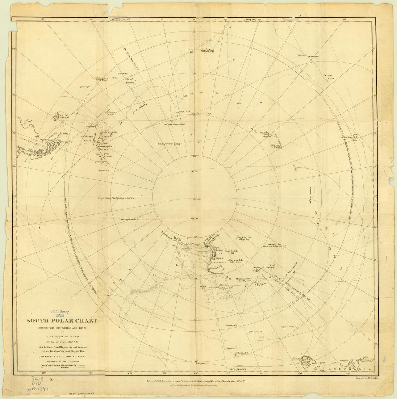
UWM Libraries / World Digital Library / Library of Congress / Actual archival image. No known copyright restrictions reported for the linked collection.
Image source record
Image rights and evidence limits
No known copyright restrictions reported for the linked collection.
Image existence does not prove a linked claim. Consult image-specific captions and reuse conditions.
Sources and what they support
Links document the record, the claim’s circulation, an assessment, or reuse terms as labeled. A source link is not automatically corroboration.
- institutional or documentary recordhttps://www.loc.gov/item/2021668666/
Connected records
These are contextual links, not automatic corroboration.
- Antarctic circumferential ice wall
Ross’s chart records southern exploration and the barrier encountered by ships, not a surveyed world-encircling boundary.
- Insta360 timelapse of flight from Punta Arenas to Union Glacier
Modern expedition flight footage contrasts with historic ship-based exploration and the blanket no-fly claim. The records concern different dates and routes, not identical journeys.
Explore the same topic
- Historical record
Adélie Land sledge route — Australasian Antarctic Expedition
Separately numbered original manuscript in the Australasian Antarctic Expedition records; inventory item 17, 64cm x 91cm. Nunatak. Commonwealth Bay. Cape Pigeon Rookery.
- Historical record
Amundsen’s South Pole expedition routes
A separately catalogued expedition or regional map; scale 1 : 6 000 000. It records historical cartographic knowledge, not evidence of hidden continents.
- Historical record
Antarctic chart annotated by Captain J. K. Davis
Annotated nautical chart preserved in the Davis collection, NAA P2819.
- Historical record
Antarctic exploration map by Bayliss
South-centered azimuthal equidistant map compiles Antarctic exploration.
Browse Polar & expedition maps Open the original vault record