
Polar & expedition maps
Sea-survey atlas from the Belgica expedition
Historical recordLecointe’s map appendix documents expedition navigation and coastlines.
What this record establishes
Institutional record documented; does not authenticate interpretations.
Record details
- Original title
- Belgica hydrographic atlas
- Artifact date
- 1903/1905; edition date unresolved
- Holding institution
- KU Leuven Libraries, 2Bergen Campus Arenberg
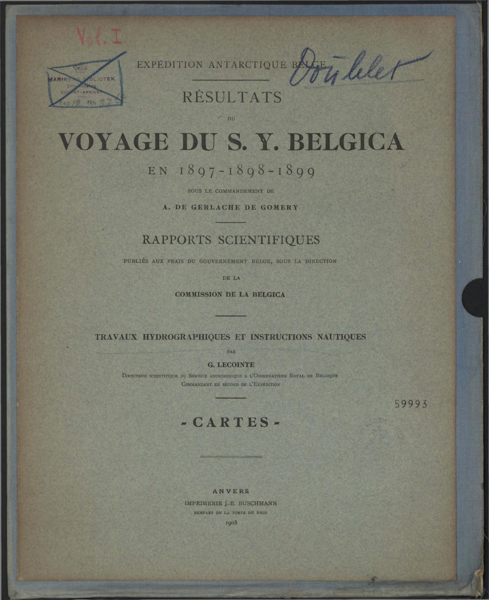
Atlas title page · maps not reproduced. This independently scanned title page explicitly reads 1903. The KU Leuven exhibit heading says 1905 while its plate citations say 1903; without full comparison this is not a correction to the KU Leuven physical edition. Its canonical 1903/1905 date conflict remains unresolved.
Georges Lecointe, Travaux hydrographiques et instructions nautiques — Cartes, Expédition antarctique belge, Anvers: J.-E. Buschmann, 1903. Independent scan from the Flanders Marine Institute (VLIZ), PDF 155443. Physical holding collection of this copy not independently established. KU Leuven IE 8979248 is the separately preserved documentary reference, not the source of these pixels.
All seven cartographic plates remain held for unresolved additional contributor rights. Only the title page is reproduced; map plates are not included because contributor rights remain unresolved. Original source scan has archival stamps/handwriting; these are retained without interpreting ownership or location beyond documented VLIZ provenance. The catalogued 1903/1905 date remains unresolved. Independent VLIZ volume contains seven numbered map plates, in scan order V, III, VI, VII, II, I, IV, after this cover. Same atlas work; physical-copy/edition identity with KU Leuven has not been independently proven.
Image source record · Reuse terms
Image rights and evidence limits
Plain 1903 printed title page only: independent public-domain expiry assessment for Lecointe bibliographic text and old typographical layout, reproduced by faithful flat scan. Georges Lecointe died in 1929. No modern creative illustration on this page. Not an assertion of VLIZ CC licensing or institutional permission, and not clearance of the seven map plates with additional named contributors.
Image existence does not prove a linked claim. Consult image-specific captions and reuse conditions.
Sources and what they support
Links document the record, the claim’s circulation, an assessment, or reuse terms as labeled. A source link is not automatically corroboration.
- displayed image provenance; not proof of a linked interpretationhttps://www.vliz.be/imisdocs/publications/ocrd/155443.pdf
- image-specific reuse conditionshttps://www.gov.uk/government/publications/copyright-notice-duration-of-copyright-term/copyright-notice-duration-of-copyright-term
- documentary target record; may differ from displayed reproductionhttps://expo.bib.kuleuven.be/exhibits/show/expedition-antarctique-en/expedition-antarctique-en
- institutional or documentary recordhttps://expo.bib.kuleuven.be/exhibits/show/expedition-antarctique-en/expedition-antarctique-en
Explore the same topic
- Historical record
Adélie Land sledge route — Australasian Antarctic Expedition
Separately numbered original manuscript in the Australasian Antarctic Expedition records; inventory item 17, 64cm x 91cm. Nunatak. Commonwealth Bay. Cape Pigeon Rookery.
- Historical record
Amundsen’s South Pole expedition routes
A separately catalogued expedition or regional map; scale 1 : 6 000 000. It records historical cartographic knowledge, not evidence of hidden continents.
- Historical record
Antarctic chart annotated by Captain J. K. Davis
Annotated nautical chart preserved in the Davis collection, NAA P2819.
- Historical record
Antarctic exploration map by Bayliss
South-centered azimuthal equidistant map compiles Antarctic exploration.
Browse Polar & expedition maps Open the original vault record