
Polar & expedition maps
Maps from Bellingshausen’s Antarctic expedition
Historical recordAtlas records the 1819–1821 southern voyage.
What this record establishes
Institutional record documented; does not authenticate interpretations.
Record details
- Original title
- Bellingshausen expedition atlas
- Artifact date
- 1831
- Holding institution
- Russian Geographical Society
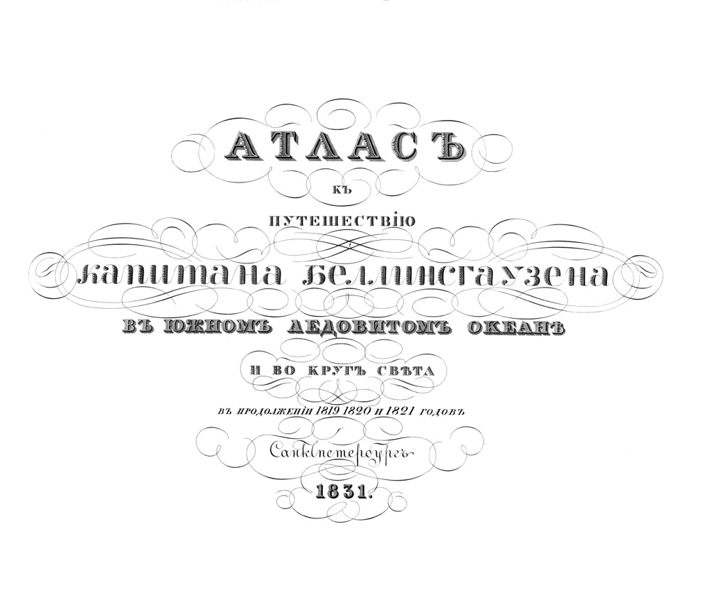
Title page of Bellingshausen’s 1831 expedition atlas. The printed voyage dates read 1819, 1820 and 1821.
Faddey Faddeyevich Bellingshausen, Atlas to the voyage of Captain Bellingshausen, St Petersburg, 1831. Presidential Library digitization of Central Naval Library copy, via Wikimedia Commons.
Same original 1831 atlas edition, alternate institutional copy rather than RGO scan. Authentic title page, not a map plate. Printed title confirms 1820; catalog transcription 1829 is erroneous.
Image source record · Reuse terms

Image rights and evidence limits
Commons explicitly Public Domain Mark 1.0, PD-old-70-expired and US public domain; saved file description.
Image existence does not prove a linked claim. Consult image-specific captions and reuse conditions.
Sources and what they support
Links document the record, the claim’s circulation, an assessment, or reuse terms as labeled. A source link is not automatically corroboration.
- image reproduction provenance; not proof of a linked interpretationhttps://www.prlib.ru/item/317118
- image reuse conditionshttps://commons.wikimedia.org/wiki/File:%D0%90%D1%82%D0%BB%D0%B0%D1%81.png
- institutional or documentary recordhttps://elib.rgo.ru/handle/123456789/233491
Explore the same topic
- Historical record
Adélie Land sledge route — Australasian Antarctic Expedition
Separately numbered original manuscript in the Australasian Antarctic Expedition records; inventory item 17, 64cm x 91cm. Nunatak. Commonwealth Bay. Cape Pigeon Rookery.
- Historical record
Amundsen’s South Pole expedition routes
A separately catalogued expedition or regional map; scale 1 : 6 000 000. It records historical cartographic knowledge, not evidence of hidden continents.
- Historical record
Antarctic chart annotated by Captain J. K. Davis
Annotated nautical chart preserved in the Davis collection, NAA P2819.
- Historical record
Antarctic exploration map by Bayliss
South-centered azimuthal equidistant map compiles Antarctic exploration.
Browse Polar & expedition maps Open the original vault record