
Antarctica Exposed
NASA/Goddard Space Flight Center · 2013-06-20
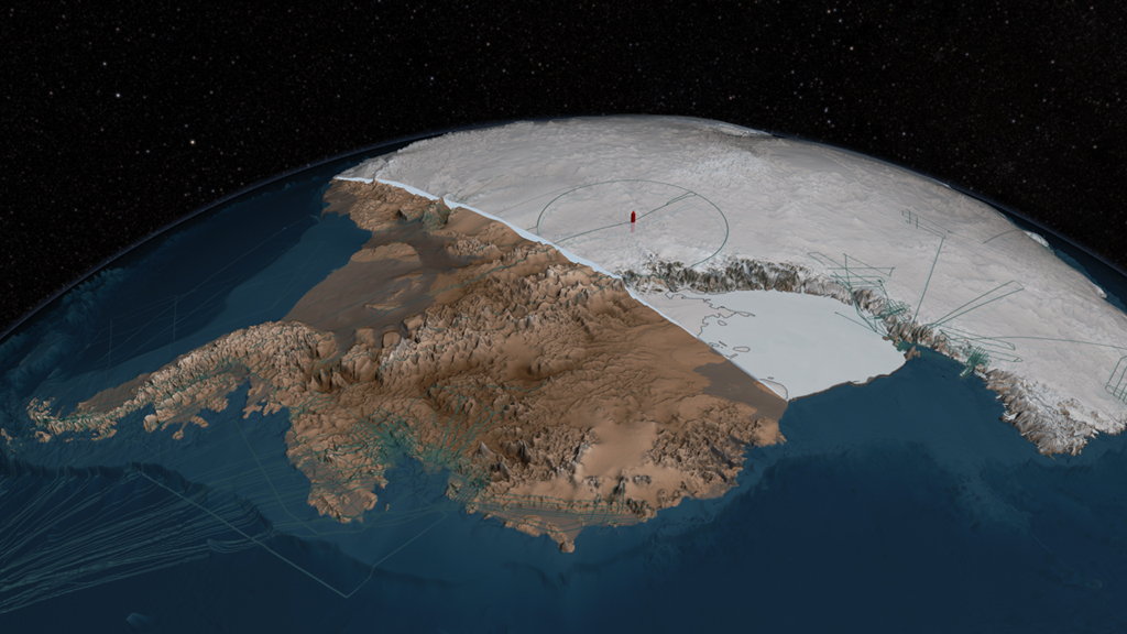
NASA explains the Bedmap2 reconstruction of Antarctic ice and underlying bedrock, developed through work led by the British Antarctic Survey. The film visualizes measurements and a scientific model; it is not a photograph of an ice-free continent.
Original NASA film, downloads and source credits
Review scope
NASA metadata, exact poster and media response checked; browser playback tested separately. Not a complete independent fact-check. Film imagery and scientific visualizations have different evidentiary roles. Historical conditions should not be presented as current.