
Mapping Polar Ice
NASA/Goddard Space Flight Center · 2013-03-19
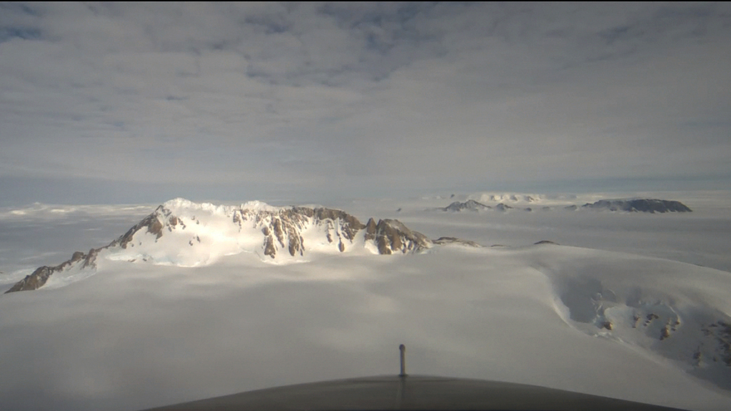
NASA describes 2012 airborne surveys near the Getz Ice Shelf grounding line to study ice loss and the underlying bedrock. The film presents the mission’s research context at publication, not a current assessment of the shelf.
Original NASA film, downloads and source credits
Review scope
NASA metadata, exact poster and media response checked; browser playback tested separately. Not a complete independent fact-check. Film imagery and scientific visualizations have different evidentiary roles. Historical conditions should not be presented as current.