
Science & anomalies
The screenshot problem.
research guideEvidence status
Editorial assessment of this proposition; not a numeric confidence score.
Claim or proposition being examined
Doorways, dark shapes, and suspicious blurs: start with the original image.
Record details
- Record type
- research/scientific context guide
Material cited and its limits
USGS LIMA orbital coverage statement — This product-specific 82.5°S coverage limit cannot be generalized to all imagery.
Research context
Original Landsat LIMA coverage stops at 82.5°S because of its orbital coverage. That product-specific limit does not describe every satellite or establish censorship in a particular Google Earth patch.
Read the cited research contextThe USGS research publication describes LIMA scenes acquired primarily during 1999–2003, combined and processed into a mosaic. Publication date and observation date are different.
Read the cited research context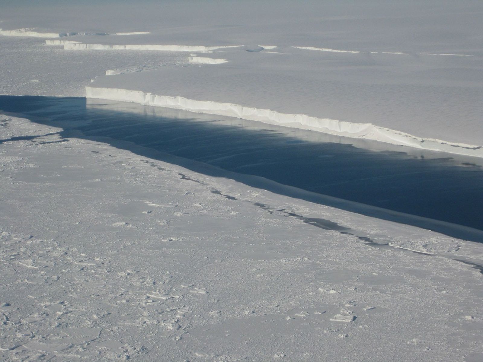
NASA/JPL-Caltech/UC Irvine / Ice-shelf context / Context image—not proof of the broader claim.
Image rights and evidence limits
Image existence does not prove a linked claim. Consult image-specific captions and reuse conditions.
Sources and what they support
Links document the record, the claim’s circulation, an assessment, or reuse terms as labeled. A source link is not automatically corroboration.
- role not specifiedhttps://www.bas.ac.uk/news/new-map-of-landscape-beneath-antarctica-unveiled/
- Primary institutional context; not proof of the speculative claimhttps://lima.usgs.gov/
- Primary institutional context; not proof of the speculative claimhttps://www.usgs.gov/publications/landsat-image-mosaic-antarctica
- This product-specific 82.5°S coverage limit cannot be generalized to all imagery.https://lima.usgs.gov/
- Terra MODIS recorded Antarctic coastal ice on 2 November 2011. An authentic satellite observation, not a depiction of hidden continents.https://images.nasa.gov/details/GSFC_20171208_Archive_e001866
- displayed image provenance; not proof of a linked interpretationhttps://science.nasa.gov/photojournal/ice-front-at-venable-ice-shelf/
Connected records
These are contextual links, not automatic corroboration.
- BedMachine: A high-precision map of Antarctic ice sheet bed topography
Related creator video. Methodological context for interpreting satellite images and modeled visualizations without mistaking a rendered feature for a verified structure.
- BEDMAP of Antarctica
Related creator video. Methodological context for interpreting satellite images and modeled visualizations without mistaking a rendered feature for a verified structure.
- The Reference Elevation Model of Antarctica (REMA) 360 version
Related creator video. Methodological context for interpreting satellite images and modeled visualizations without mistaking a rendered feature for a verified structure.
- The Bedrock Beneath Antarctica
Related creator video. Methodological context for interpreting satellite images and modeled visualizations without mistaking a rendered feature for a verified structure.
- Two Scientists Have a Frank and Honest Discussion about Antarctica
Related creator video. Methodological context for interpreting satellite images and modeled visualizations without mistaking a rendered feature for a verified structure.
- Guided Tour of LIMA Flyover
The NASA visualization illustrates how imagery and terrain data produce a flyover. Compare the imagery-provenance guide; a visualization is not a current single satellite photograph.
- Giant door near Showa Station
Use the imagery-provenance method to investigate a claimed feature before assigning an artificial or concealed origin.
- Landsat's Antarctica Mosaic
Related creator video. Methodological context for interpreting satellite images and modeled visualizations without mistaking a rendered feature for a verified structure.
- Earth from Apollo 17 — the Blue Marble photograph
Distinguish a specific Apollo photograph from satellite mosaics, processing gaps and screenshots of unknown provenance.
- S1 Ep1: Elena Field on mapping Antarctica
Related creator video. Methodological context for interpreting satellite images and modeled visualizations without mistaking a rendered feature for a verified structure.
Explore the same topic
- science misinterpretation
ANITA as proof of a backward-time universe
Anomalous observations did not establish this conclusion.
- optical-phenomenon interpretation
Antarctic sunlight reflects off a solid firmament
Teyit identified ice halos and sundogs, not evidence of a solid dome.
- anomaly interpretation
Bloop as an unknown giant animal
NOAA identifies an Antarctic icequake, not an animal.
- supported scientific explanation
Chlorine and bromine ozone destruction
Supported by measurements; included separately from conspiracy claims, not an unresolved mystery.