
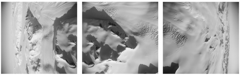
Antarctic trimetrogon aerial survey example, circa 1964
USGS presents three aerial views assembled side by side to illustrate horizon-to-horizon survey coverage: left oblique, downward-looking vertical, and right oblique photography.
USGS EROS Center / USGS EROS User Services
Public Domain, explicitly stated in the source's Sources/Usage field.
Scope and limitations
The institution dates this example approximately. The page does not identify a specific flight, frame number or location. This is one example assembly, not three separately catalogued photographs.