
Polar & expedition maps
Reconnaissance map of King Edward VII Land and the northern part of Marie Byrd Land
A regional reconnaissance sheet presents coastal and interior features of King Edward VII Land and northern Marie Byrd Land. The UTA reproduction includes handwritten marks.
View original institutional record →
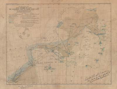
A regional reconnaissance sheet presents coastal and interior features of King Edward VII Land and northern Marie Byrd Land. The UTA reproduction includes handwritten marks.
American Geographical Society; digitized by University of Texas at Arlington Libraries
Image context and reuse
UTA permits non-commercial personal or educational use. This educational catalog retains attribution; other reuse may require contacting UTA Special Collections. No blanket rights clearance is asserted.
Original source and full reproductionObject and edition
- Holding institution
- University of Texas at Arlington Libraries, Special Collections
- Artifact date
- 1933
- Creators
- American Geographical Society
- UTA identifier
- 20186340
What this establishes
UTA dates this object to 1933, not 1930. The preview alone does not establish who made each annotation or when. A reconnaissance map is not a claim of uniform survey coverage.
Review scope
Institutional metadata and preview image checked on November 3, 2026. The source provides the full reproduction; individual annotations and all historical interpretations have not been independently authenticated.