
Sentinel-3 captures sea-ice textures around the Antarctic Peninsula
ESA released a Sentinel-3 image acquired on 30 September 2026 showing the Antarctic Peninsula, nearby islands and Weddell Sea ice. The image reveals contrasting floe sizes and patterns, alongside extensive cloud cover.
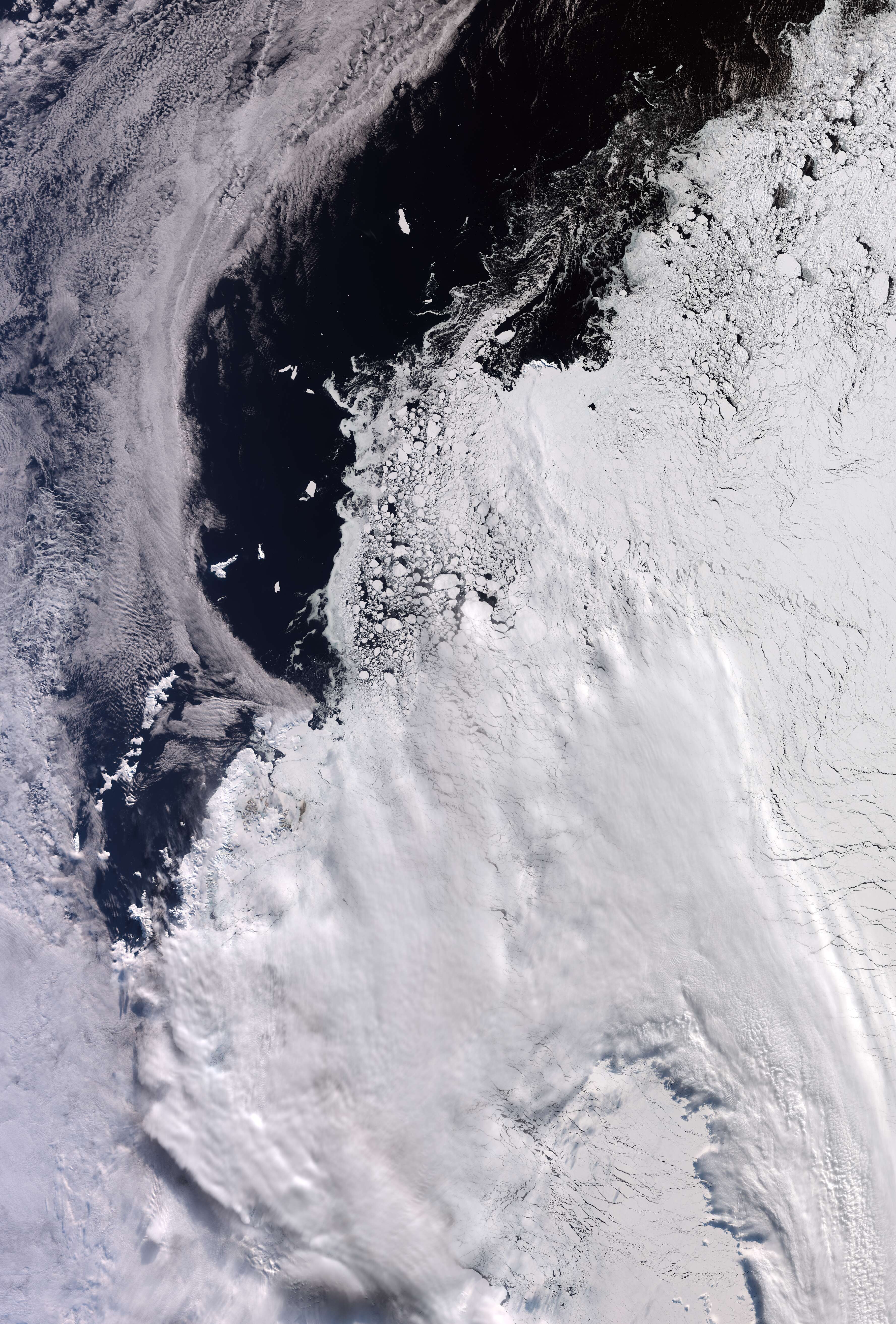
contains modified Copernicus Sentinel data (2026), processed by ESA
CC BY-SA 3.0 IGO option explicitly offered on the source page. Original preview retained; retain attribution and license with any adaptation.
Scope and limitations
One satellite observation, not a new measurement of annual ice extent or evidence that every white region is sea ice. Publication and acquisition dates differ.