The interactive atlas / Follow your curiosity
Interactive Map
Switch between actual Antarctic satellite imagery, a spherical globe, historical originals and speculative 3D illustrations. Pick a theory below and the map changes to show it.
● Real geography● Historical depiction● Speculative illustration
ANTARCTIC IMAGERY
3D ARCHIVE / DRAG TO EXPLORE
 THEMATIC MARKERS · NOT EVIDENCE LOCATIONS
REAL GEOGRAPHY · DISPLAY DEPTH IS ILLUSTRATIVE
THEMATIC MARKERS · NOT EVIDENCE LOCATIONSREAL GEOGRAPHY · DISPLAY DEPTH IS ILLUSTRATIVE
IN-MAP INVESTIGATION
Drag to explore · pinch / + / − to zoom · keyboard arrows move · Home resets
SPECULATIVE ILLUSTRATION · The raised wall and outer land shapes are a conceptual visualization, not surveyed terrain or established geography.
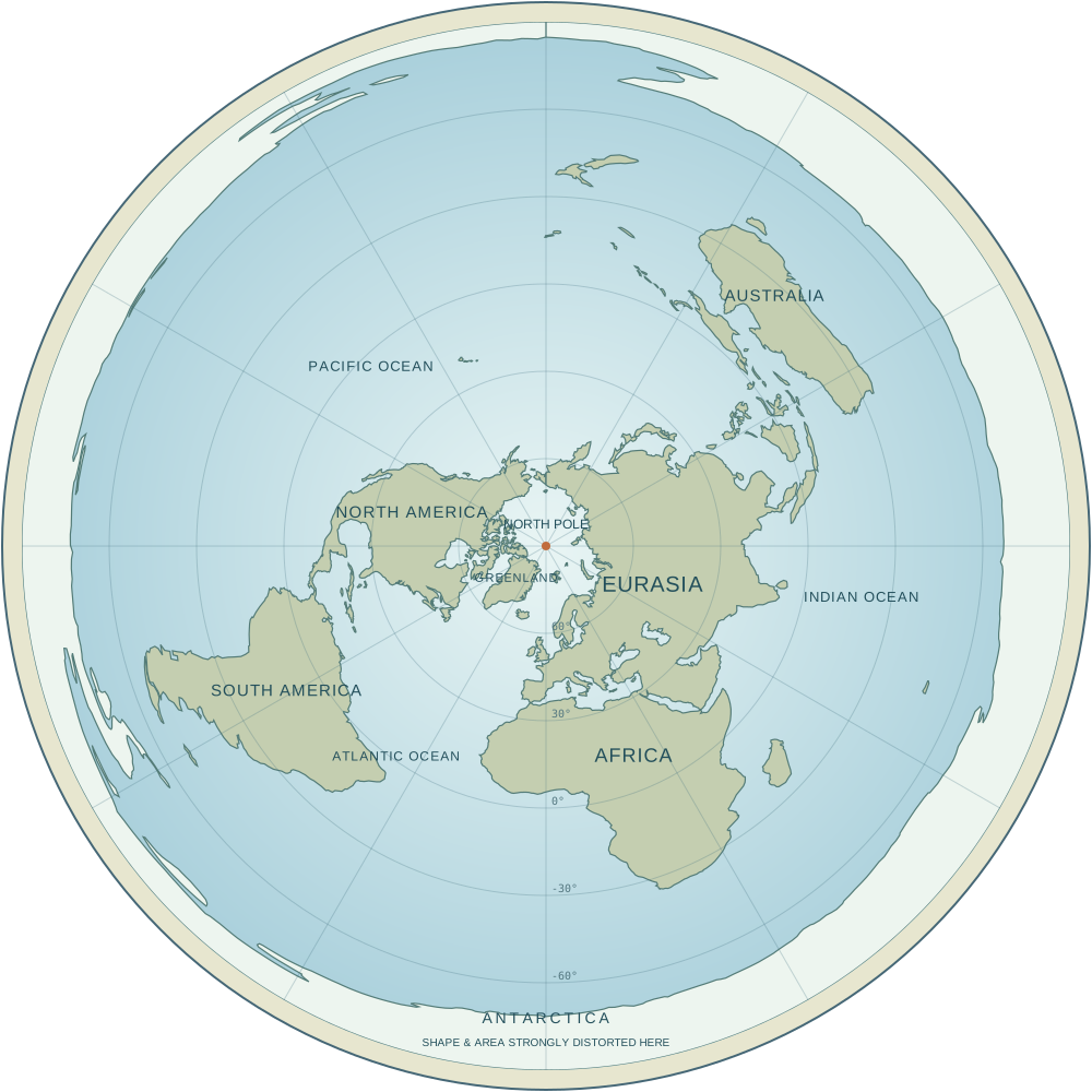
The flat map uses a polar projection of real coordinates; shapes and areas are distorted. A planar projection does not imply Earth is flat.